
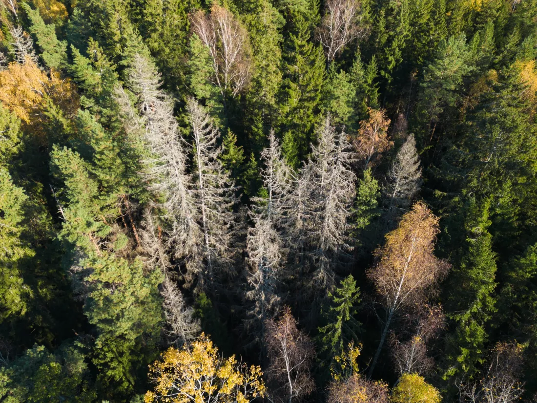
Bark beetles, storms and wildfires are serious threats to Europe’s forests, and climate change makes them even stronger. The SWIFTT project looked at trees from orbit: it combined satellite data, artificial intelligence and the knowledge of foresters from four countries. The result is a platform that assesses damage every month, spots fires and warns of danger in advance — and at the end you can check whether you, too, act ahead of time or tend to put out fires at the last minute.
A forest brings to mind a walk and some quiet, but for nature and for people it does far more serious work. It is home to many species, regulates the flow of water, protects the soil from erosion and stores carbon. Yet fires are becoming more frequent, pests attack on a massive scale, and the climate keeps changing.
Ariane Kaploun, head of nature-based solutions at AXA Climate and coordinator of the SWIFTT project, does not mince words: “These risks are intensified by climate change.” And she immediately spells it out: “Insects breed more frequently, more dry fuel for wildfires is made available, and the frequency and severity of storms increases.”
To protect a forest effectively, you need to know what is happening in it, and not just now and then but regularly. This is where satellites come in. The EU’s Copernicus programme supplies information from orbit that can be used to estimate changes in biomass and the chlorophyll content of leaves.
The EU-funded SWIFTT project, whose name stands for Satellites for Wilderness Inspection and Forest Threat Tracking, set itself a specific goal. The team wanted to build an AI-powered forest monitoring platform that detects, analyses and predicts the most important threats across Europe.
People from very different worlds sat at one table: foresters, risk specialists and engineers working on AI. Quentin d’Huart, CEO of the Belgian company Timbtrack, one of the project partners, describes this cooperation as an extraordinary opportunity to build a state-of-the-art tool tested in real conditions.
Researchers from universities and the private sector developed the AI models, but images from orbit alone are not enough. Foresters collected data in Belgium, France, Germany and Latvia, and then tested the solution in the field.
“Ground data was needed to calibrate our AI models,” explains Annalisa Appice, a professor at the University of Bari in Italy. The partners prepared precise datasets labelled with date and location: where trees were destroyed by bark beetles, where by wind and where by fire. They also pointed out stands that are healthy. Thanks to this, the algorithms learned to tell damaged forest from undamaged forest.
The main result of the project is a platform available in a browser and as a mobile version, combining high-resolution satellite monitoring with AI analysis. It currently offers, among other things:
Foresters do not have to dig through maps on their own. They receive alerts together with an analysis of the threats, which helps them decide where to act first.
The system also works the other way round. A mobile app lets people collect data in the field, and that data goes back to the platform and improves the accuracy of its forecasts. The more observations from below, the better the model understands what it sees from above.
According to Quentin d’Huart, the biggest advantage is that all these functions are brought together in one place. Forest owners and managers can therefore stop merely responding to damage and start making decisions in advance. “This will help to reduce losses and optimise forest management strategies,” he stresses.
In practice it is about a change of mindset. Instead of counting the destruction after the fact, it is better to know in good time which part of the forest needs attention.
The project lasted three and a half years. Its total cost was about EUR 3.68 million, of which about EUR 2.85 million came from the EU. The coordinator was the French company AXA Climate. The story does not end there: Timbtrack is to commercialise the platform, keep developing the software and extend its reach in Europe and beyond.
Ariane Kaploun is convinced that SWIFTT will help forest managers adapt to climate change and its financial consequences, and that Europe will thus be better prepared to fight climate change.
The SWIFTT project shows that space technology is very useful close to the ground. Satellites provide regular data, artificial intelligence turns it into warnings, and foresters teach the algorithms what a healthy and a damaged forest really look like. Bark beetles, storms and fires will not stop being dangerous, but it is better to keep an eye on them from orbit than to find out about them too late.
5 questions · one minute


 English
 Čeština
 Deutsch
 Español
 Français
 Magyar
 Italiano
 Polski
 Português
 Русский
 Slovenčina
 Türkçe
 Українська
 العربية
 中文